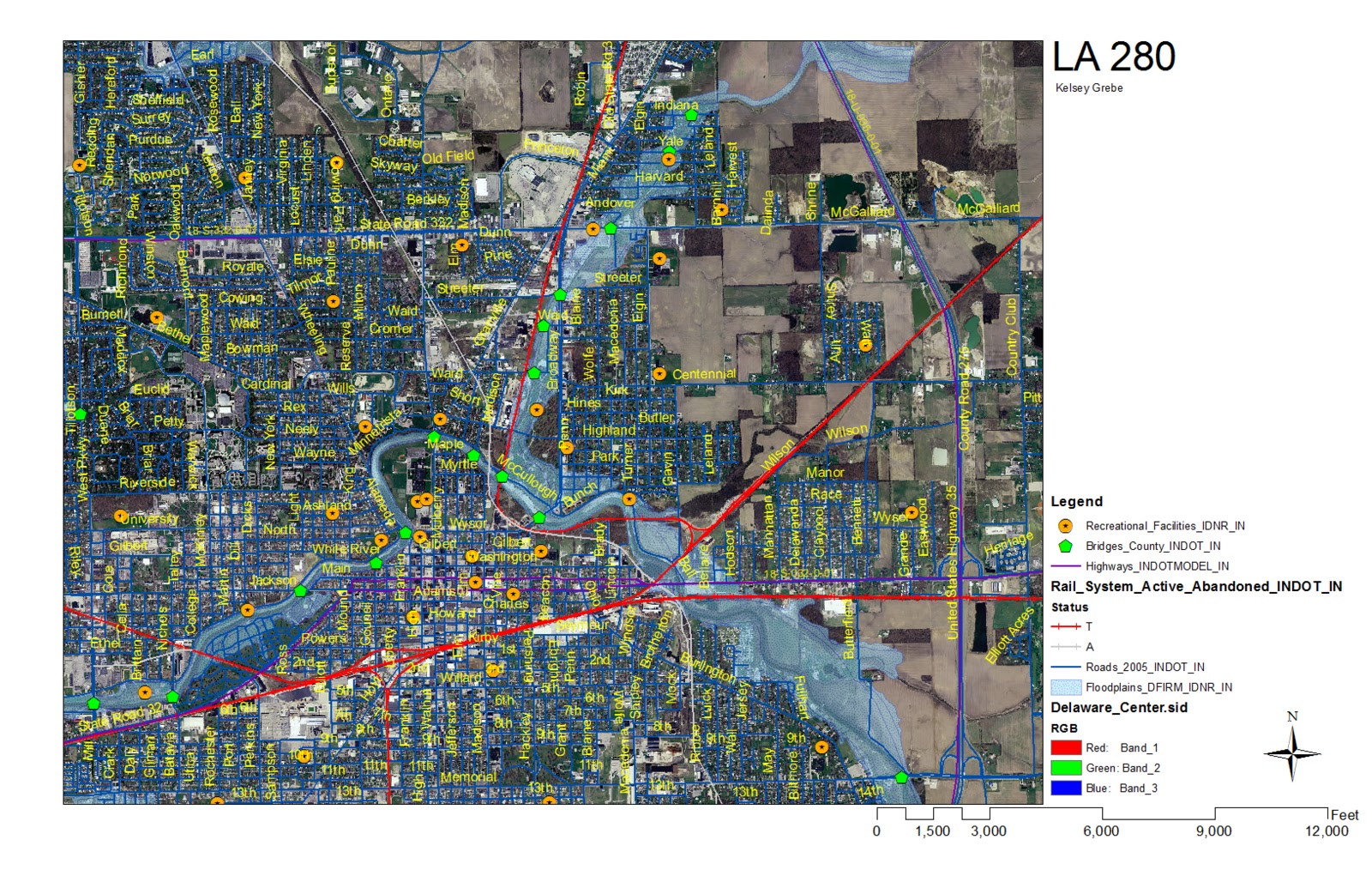
Beginning of GIS... Learning to set up a layout with legend. scale and north arrow. In this map I showed where the flood plains were located as well as the rail system status. The rail system status had to be separated to show both the T and A lines on the map. Highways, roads, recreational facilities and bridges were included in this map.
No comments:
Post a Comment